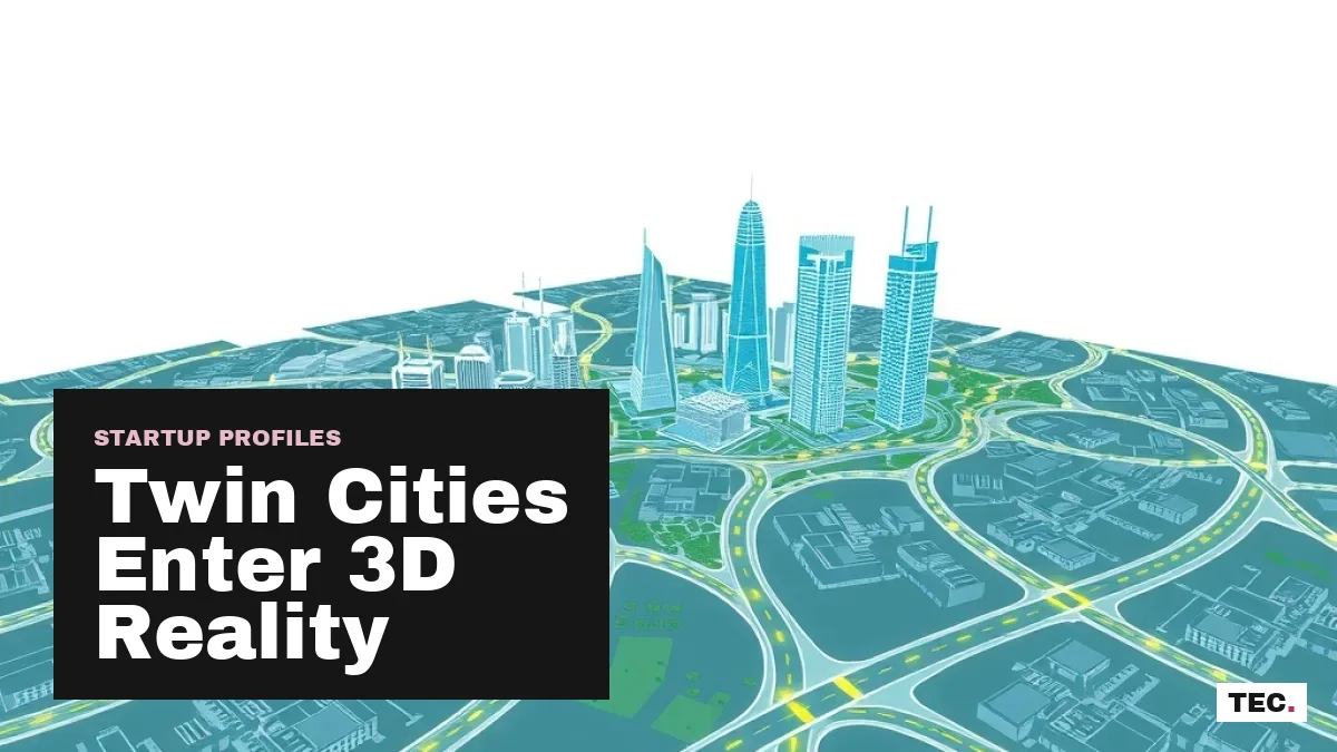
When municipal authorities and real estate developers evaluate the twin cities, decisions frequently rely on static surveys, fragmented land registries, and reactive planning. Local generative artificial intelligence startup Musavir.AI has introduced an alternative by releasing the first interactive 3D digital map of Islamabad and Rawalpindi. Operating as a unified digital twin, the platform mirrors sectors, road networks, and physical structures across both cities into a single living computational model.
For Pakistani software engineers, urban researchers, and civic authorities, this deployment indicates a broader transition within the domestic technology landscape. Rather than restricting artificial intelligence to overseas enterprise outsourcing or conversational chatbots, local teams are turning computer vision and spatial modeling inward to solve structural domestic coordination problems. The release represents a concrete shift toward data-backed municipal governance in the federal capital region.
Mapping Sectors, Streets, and Structures into a Digital Twin
The system constructed by Musavir.AI renders urban geography with visual fidelity comparable to modern game engines while anchoring every element to actual geospatial coordinates. The twin cities present distinct infrastructural patterns: Islamabad follows a planned grid divided into distinct sectors and zones, whereas Rawalpindi features organic, high-density residential and commercial clusters with complex street networks. Synthesizing both into one coherent model requires capturing vastly different architectural layouts and road profiles.
By treating the twin cities as an integrated system rather than two disconnected municipal zones, the digital twin allows cross-boundary planning. Commuters, supply chains, and public transport systems pass between Islamabad and Rawalpindi continuously, making isolated civic planning largely ineffective. As seen in wider developments in geospatial AI research, structuring raw physical environments into queryable digital layers allows civic teams to simulate infrastructure interventions virtually before committing capital expenditure on the ground.
Predictive Disaster Modeling and Infrastructure Siting
Urban expansion across Rawalpindi and Islamabad faces recurring disruptions from severe climate events. Every monsoon season, seasonal nullahs—most notably Leh Nullah—threaten low-lying residential sectors and commercial markets with intense flash flooding. Musavir.AI addresses this vulnerability by incorporating flood simulation capabilities directly into the 3D model.
Planners can run runoff simulations long before seasonal rains hit the Margalla foothills and the Potohar plateau. By mapping surface elevations and hydrological flow across sectors, municipal departments can determine which streets, access lanes, and residential blocks sit directly in high-risk zones. This foreknowledge shifts disaster response away from emergency relief toward targeted drainage reinforcement and proactive evacuation planning.
Beyond disaster mitigation, the platform offers spatial analytics for public infrastructure placement. Selecting suitable sites for civic utilities involves balancing population density, arterial access, and surrounding utility load. The model assists planners in evaluating candidate locations for:
- Public hospitals and trauma centers requiring swift emergency vehicle access across sector divides.
- Primary and secondary educational institutes situated within walkable distance from residential blocks.
- Public parks, green buffers, and community recreational spaces in developing sectors.
- Mass transit routes, dedicated bus corridors, and road diversion networks designed to relieve bottleneck intersections.
Simulating traffic flows prior to ground construction prevents costly miscalculations, echoing modern initiatives seen in regional urban traffic management upgrades.
Centralizing Land Parcels to Mitigate Property Disputes
Pakistan's real estate sector has historically grappled with opaque record-keeping, overlapping ownership claims, and litigation bottlenecks that tie up commercial activity. Musavir.AI tackles these friction points by consolidating parcel-level information within the 3D interface. Instead of navigating disconnected paper records and conflicting registry offices, users interact with a centralized geographic baseline.
The system links title documentation, boundary parameters, and zoning rules directly to specific 3D structures and plots on the map. This approach allows property developers, municipal authorities, and buyers to inspect individual land parcels within their immediate urban context. By placing land data on an immutable visual layer, the platform minimizes the information asymmetry that enables deceptive plot sales and unauthorized encroachments across expanding suburban fringes.
Commercial transactions also integrate directly into the spatial layout. Users can overlay available inventory onto the interactive model, allowing buyers and institutional investors to examine plot contours, elevation, and proximity to major avenues before taking part in digital auctions, sales, or acquisitions. For a market where off-plan investments carry significant execution risks, spatial verification introduces accountability.
Commercial Showcase and Event Visualization
Alongside municipal and real estate operations, the platform extends utility into corporate project marketing and event execution. Organizations can embed their upcoming projects, commercial complexes, or civic installations into the center of the 3D environment to demonstrate spatial relationships to clients, regulators, and event attendees.
Rather than relying on flat architectural blueprints or static pre-rendered video walk-throughs, teams can present interactive exhibits where stakeholders navigate around surrounding streets, monitor adjacent access corridors, and inspect site sightlines in real time. Musavir.AI is currently directing this functionality toward corporate event producers, municipal offices, and large-scale builders looking to demo projects through live models accessible on the startup's platform, as detailed on TechJuice.
What Digital Twins Mean for Pakistani Deep-Tech Builders
The emergence of spatial AI models within Pakistan signals that domestic engineering talent is moving beyond routine software export contracts into high-barrier products. Building a functional digital twin requires sophisticated computational architecture, combining 3D rendering pipelines, spatial data ingestion, and scalable web delivery tailored to local internet infrastructure.
As cities across the country embrace digital governance—from digitized billing to smart city infrastructure in Islamabad—the availability of a living 3D baseline provides a foundational layer for public-private collaboration. If adopted widely by civic institutions such as the Capital Development Authority and Rawalpindi Development Authority, digital twin technology could replace speculative urban growth with accountable, evidence-based development.
Practical Considerations for Twin Cities Stakeholders
Who can access the Musavir.AI 3D digital map?
Musavir.AI currently tailors the digital twin platform to professionals and institutions working across public sector governance, real estate development, and corporate event management. Interested teams can request product access or book a guided demonstration directly via Musavir.AI's portal.
How does the 3D map improve flood preparedness?
The platform runs elevation-based flood simulations prior to monsoon rains. By tracing water collection routes and drainage bottlenecks across Islamabad and Rawalpindi, civic responders can identify vulnerable residential pockets and reinforce drainage routes before flooding occurs.
Can developers integrate real estate transactions into the map?
Yes. The platform maps verified parcel documents and plot layers onto the 3D environment, allowing users to buy, sell, or place bids during land auctions straight from the spatial interface.
Source: TechJuice